Rio Grande Rift
Crustal Deformation Measurements Using GPS
an
NSF-Earthscope
Project
|
The goal of this project is to kinematically image extension in the Rio Grande Rift in order to address the following question: What controls extension within "narrow" continental rifts and how is it related to lithospheric heterogeneity? Additional questions addressed by this research include: Is deformation steady or episodic? Do the observed Quaternary faults and geodetic strain rates agree? How is strain spatially accommodated? Is the Rio Grande Rift widening and propagating northward? What is the mantle rheology, and how is the style of deformation influenced by strain rate? How does the potential rift propagation manifest itself in the Neogene rotation of the Colorado Plateau? |
|
Collaborators and Students
|
| With the help of UNAVCO,
we are installing a network of 24 GPS stations across the Rio Grande
Rift in Colorado and new Mexico. A few stations are already permitted and other station locations are
currently being finalized and we are requesting input from the
community for stations in Colorado (CO station map) and in New Mexico (see map below).
Our stations will form a dense cluster within the larger network
of GPS stations being installed across the western US as part of the Earthscope-PBO effort. We are also building a program of education and outreach, including workshops for K-12 science teachers, community presentations, involvement of middle schools near our stations, etc. Watch these pages for education and outreach events in Colorado and New Mexico: link to Education and Outreach Events in CO Education and Outreach Events in NM:
|
|
In the News...
CU Press Release UNM Press Release Boulder Daily Camera 03/Sep/2005 KOA radio 850 AM 13/Sep/2005 Albuquerque Tribune 20/Sep/2005 Salida (CO) Mountain Mail 26/Sep/2005 Longmont Times-Call 10/Oct/2005 Denver's Channel 7 10/Oct/2005 UNM Campus News Article, Nov 7, 2005
|
|
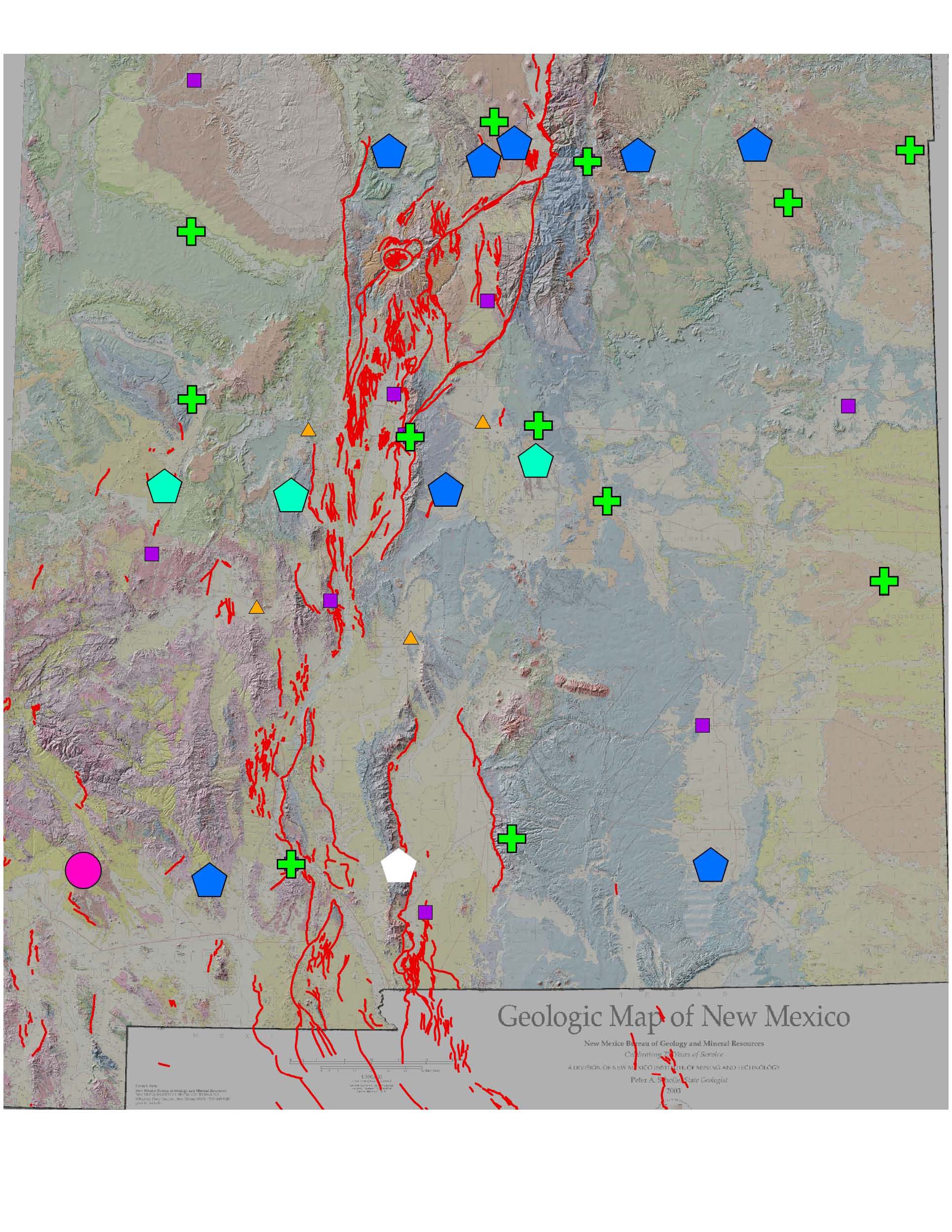
Rio
Grande Rift GPS: New Mexico
|
This site is maintained
by Mousumi Roy
at the University of New Mexico
modified -- 6/15/06
 This material is based upon work supported by the National Science Foundation
under grant number 0454541. Any opinions, findings, and conclusions or
recommendations expressed in this material are those of the authors and
do not necessarily reflect the views of the National Science Foundation.
This material is based upon work supported by the National Science Foundation
under grant number 0454541. Any opinions, findings, and conclusions or
recommendations expressed in this material are those of the authors and
do not necessarily reflect the views of the National Science Foundation.